Dec 12, 2025
Tips For Conducting Studie
Key Industries and Applications we serve:
We provide the full spectrum of geomatics and LiDAR-related services, offering fully integrated solutions that can cover the entire project workflow, from LiDAR data acquisition and 3D data capture to final processing and delivery of geospatial products. This approach ensures consistency, quality control, and a streamlined process, particularly for projects that benefit from a single, end-to-end service provider. However, where we truly stand out, and where our core expertise lies, is in advanced data post-processing. This is the stage where raw data is refined, enhanced, and transformed into clear, impactful visuals and reliable, decision-ready outputs. Our strength in post-processing allows us to work efficiently with complex datasets, apply rigorous quality control, and deliver high levels of accuracy within tight timelines. For this reason, and for several practical and logistical advantages, post-processing is often where we focus our work and where we deliver the greatest value to our clients. With a proven ability to produce precise results quickly and consistently, we are the ideal partner for time-sensitive projects across industries where accuracy is essential.
Energy & Utilities
Transmission and Distribution Networks.
Our core strength is delivering high-precision LiDAR and geospatial solutions for power and energy infrastructures, with particular expertise in power lines and substations. We support network planning, asset management, vegetation clearance, line inspection, and maintenance optimization, helping utilities improve reliability, efficiency, and safety.
Our core strength is delivering high-precision LiDAR and geospatial solutions for power and energy infrastructures, with particular expertise in power lines and substations. We support network planning, asset management, vegetation clearance, line inspection, and maintenance optimization, helping utilities improve reliability, efficiency, and safety.
Mining
High-precision surveys for exploration and
operations.
We deliver accurate 3D mapping, volumetric analysis, and terrain modeling to support exploration, extraction, and operational efficiency. Our solutions help mining companies optimize resource planning, ensure safety compliance, and make data-driven decisions across all stages of the mining lifecycle.
We deliver accurate 3D mapping, volumetric analysis, and terrain modeling to support exploration, extraction, and operational efficiency. Our solutions help mining companies optimize resource planning, ensure safety compliance, and make data-driven decisions across all stages of the mining lifecycle.
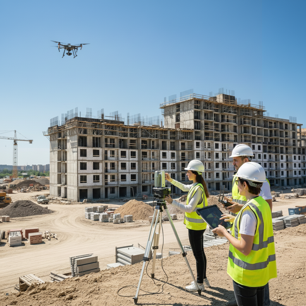
Construction & Infrastructure
Accurate mapping for planning and progress control.
Project planning, monitoring, progress control, and supporting transportation infrastructure projects. Our geomatics solutions enable precise site mapping, volume calculations, and surface modeling for buildings, roads, bridges, and large-scales developments. We ultimately improve efficiency, safety, and cost control throughout the construction lifecycle.
Project planning, monitoring, progress control, and supporting transportation infrastructure projects. Our geomatics solutions enable precise site mapping, volume calculations, and surface modeling for buildings, roads, bridges, and large-scales developments. We ultimately improve efficiency, safety, and cost control throughout the construction lifecycle.
Forestry
Advanced mapping for sustainable management.
Mapping, monitoring, and analyzing forested areas using 3D LiDAR and aerial data for sustainable management, inventory, and planning.
Mapping, monitoring, and analyzing forested areas using 3D LiDAR and aerial data for sustainable management, inventory, and planning.
Environmental & Urban Development
Insightful geospatial data for smart growth.
Land analysis, conservation, and smart city planning. We provide data-driven insights to support sustainable and efficient development and optimize urban infrastructure projects.
Land analysis, conservation, and smart city planning. We provide data-driven insights to support sustainable and efficient development and optimize urban infrastructure projects.
Other Geospatial Applications
Precision solutions for diverse industries.
From industrial projects to custom solutions, our expertise adapts to virtually any sector requiring precision mapping and analysis.
From industrial projects to custom solutions, our expertise adapts to virtually any sector requiring precision mapping and analysis.